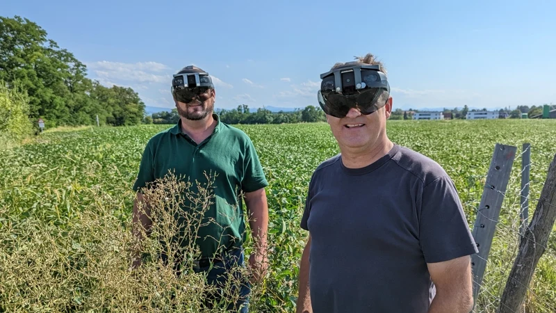
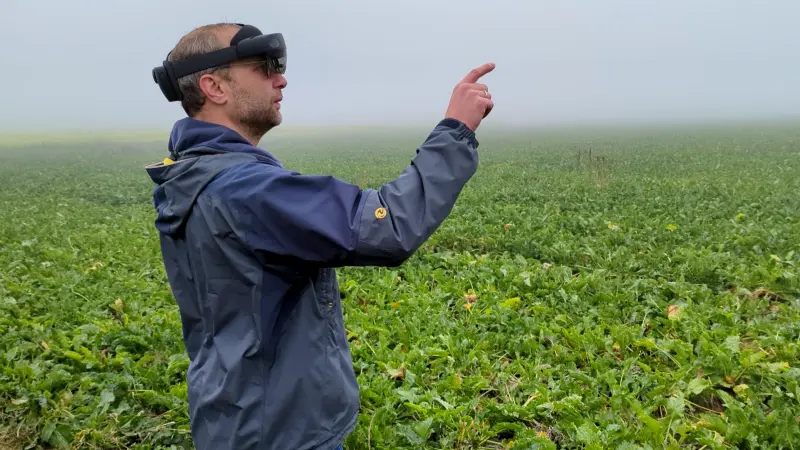

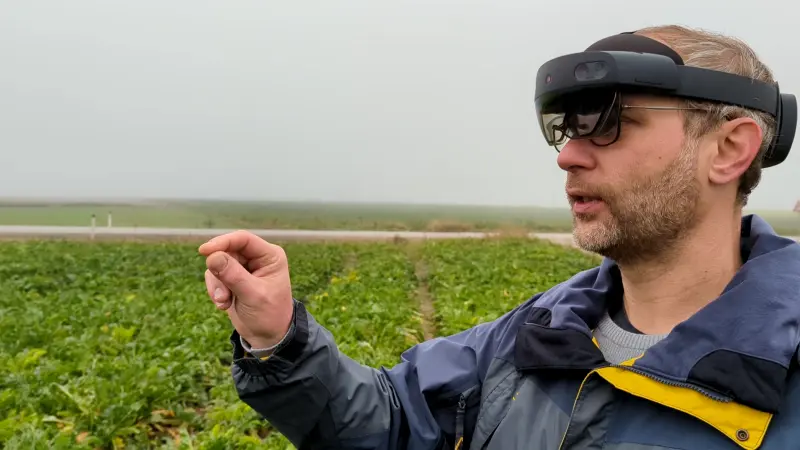
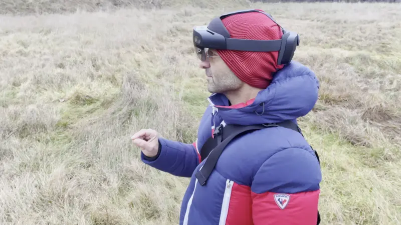
Innovative Satellite Map Visualization, using AR glasses
We developed a prototype using Microsoft Hololens 2 for visualizing satellite maps directly in the field.
Virtual data and the real environment can be compared right next to each other. This advancement significantly enhances user experience in interacting with agricultural spatial information, making it more intuitive and engaging to work with.